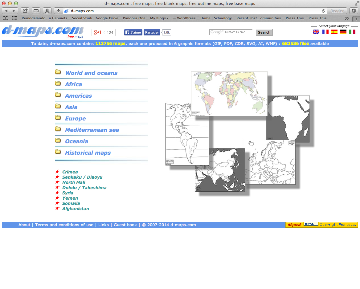
For all of you out there who scour Google images for a good base map, I am happy to let you in on a little secret:
This independant map lover created a library of outline maps for your saving enjoyment in multiple formats; SVG, GIF, PDF, CDR, AI, and WMF.
Not only does he provide various different map perspectives and scales, he also provides around 34 different blank map types for you to play around with.
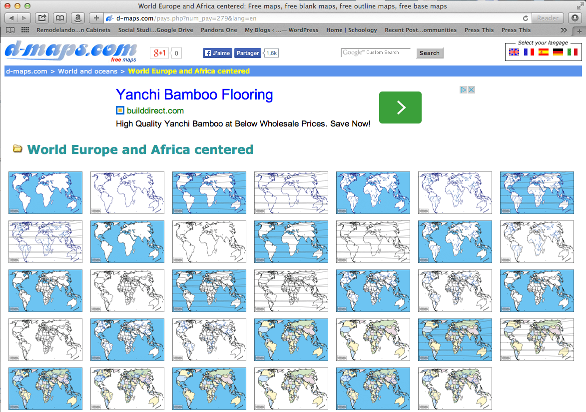
I love how the website is designed to show you the different hierarchy of maps to choose from, starting with a basic “coastal outline” map all the way to the most complex option of “hydrography, states, main towns, and color”. Rollover each thumbnail for details.


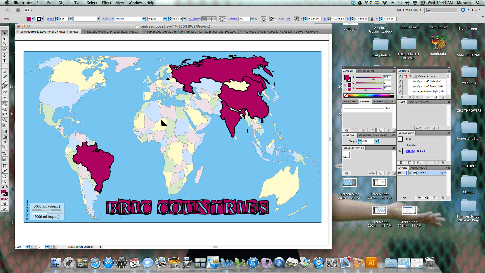
These maps are clean, free, and very teacher-friendly. My favorite format to work with is the CDR (Corel Draw) or SVG files which are vectorized and allows for me to easily edit them in Adobe Illustrator.
Once you bring in the SVG file into Illustrator, you can ungroup the vectors and change colors, shapes, and even move continents! Hours of fun.

You and your students will NEVER have to waste time searching for a good base map again.
Enjoy!