Thanks to the Vsauce video, What Does the Earth Look Like, we can use a few other helpful sites to interact with map projection.
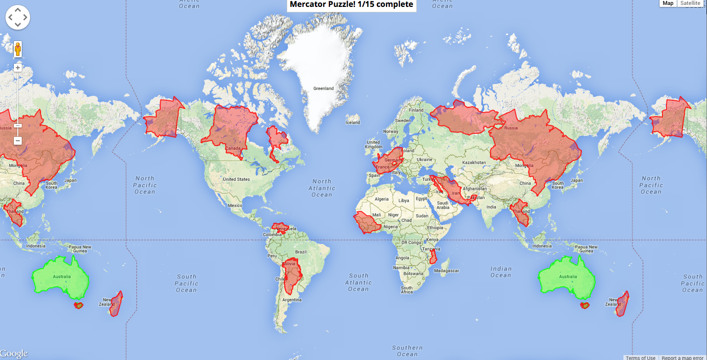
The first one is Google’s Mercator Map Puzzle where it gives you red country pieces that have distorted sizes and shapes. The player must drag the shapes around to find out what they “correctly” look like on a mercator map.

The second interactive is Jason Davies’ interactive map projection website that allows the user to select a different map projection from a drop down and see how it effects the different shapes of the continents. Look for a worksheet that uses this website later. This one is awesome!